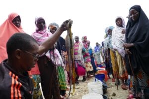
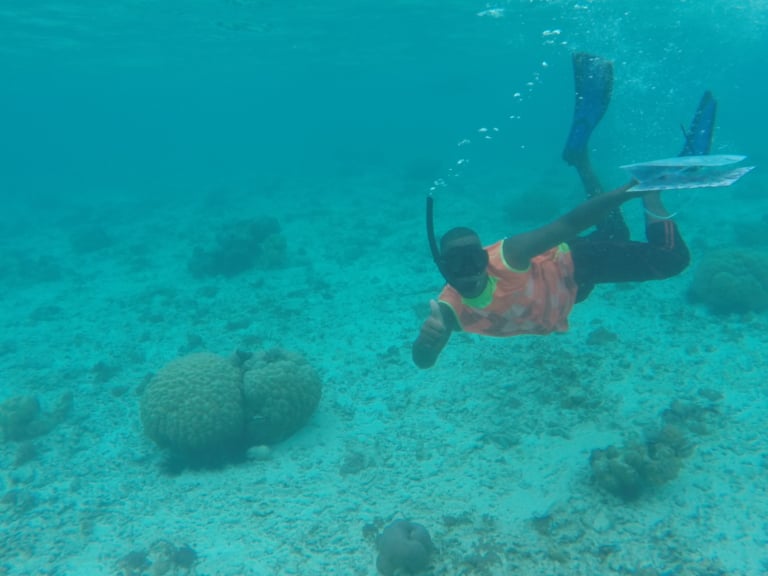
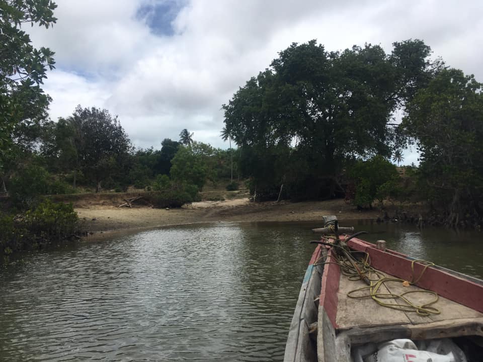
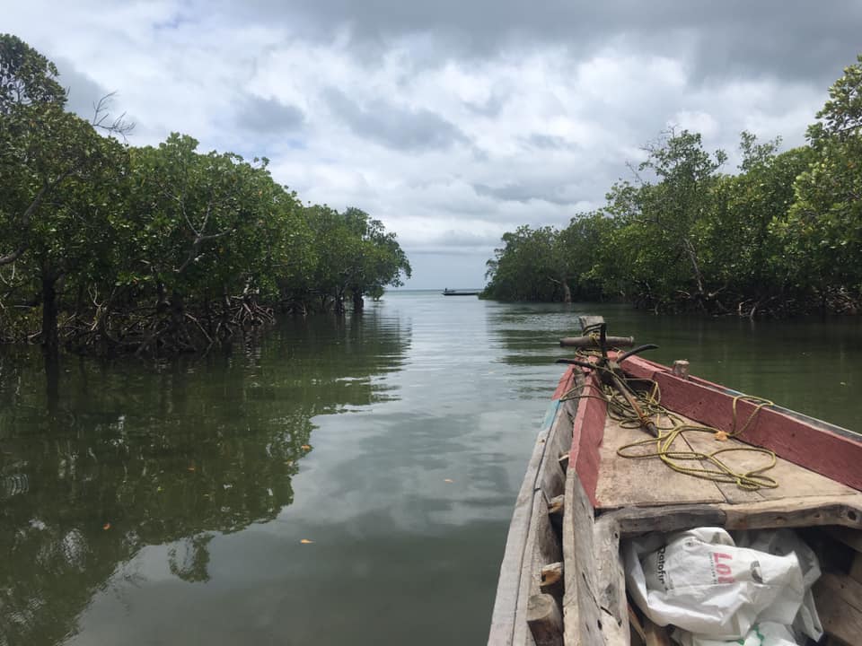
Yesterday some of our team were out on the water mapping the fishing grounds of 3 communities in Pemba, Zanzibar, alongside their SFCs (Community committees responsible for fisheries management decisions).
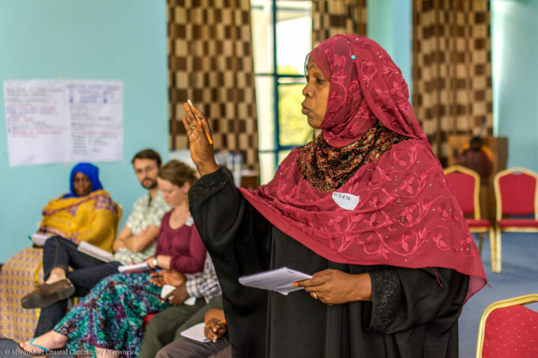
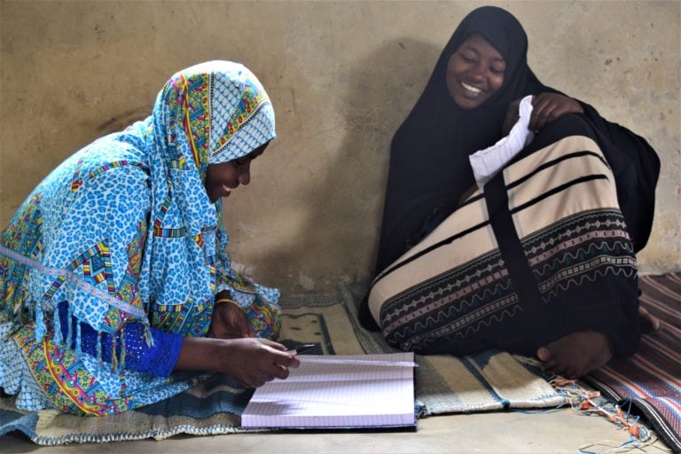
An important component of our community-based management work is mapping each communities coastal resources to guide decisions on closure areas and management planning. Consultation with a cross-section of the community is also important to understand the potential social impacts of management decisions.
Over the next fEw days consultations are happening in each community to follow on from our mapping and ensure informed closures are planned.

